Resort
Orientation inside a lift-served area.
- Pistes
- Lifts
- Vertical overview
- Resort orientation
- Access and connections
TOPOCREST is a terrain-first planning concept for winter mountain sport. It combines expressive 3D terrain with slope, aspect and exposure layers so the shape of a line is readable before you commit to it — not just where it goes on a flat map.
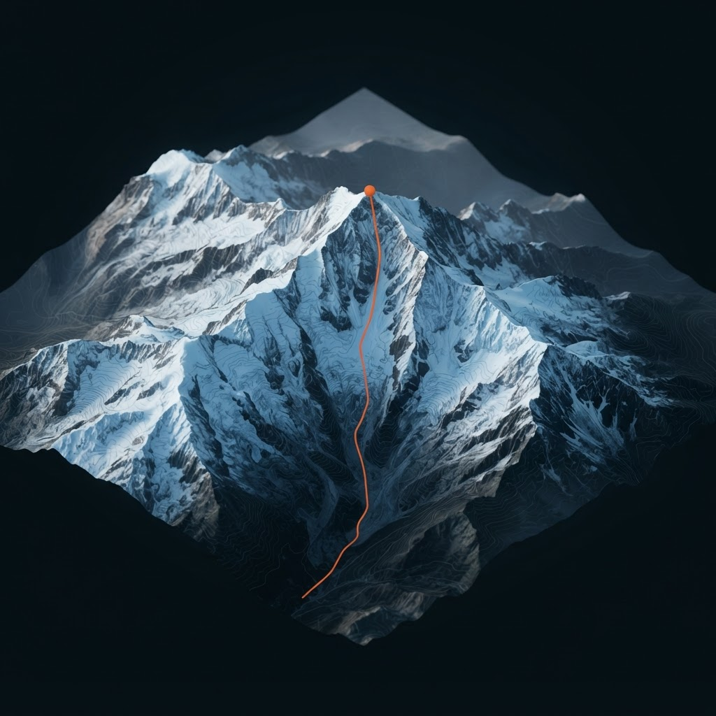
3D Terrain
Preview
Build status
Prototype 0.4
Most winter maps answer where a route goes. The harder and more useful question is what the terrain is doing along the way — how steep the entrance is, which way the face is turned, where the ground funnels. TOPOCREST is an attempt to put that context first.
Shape comes before styling. Slope, aspect and the form of a face determine what a route actually asks of you, so the terrain model is the primary object rather than a backdrop.
Every layer answers a specific planning question. If a data overlay does not change a decision, it does not belong on the map.
Generated and simulated values are labelled as such, everywhere. Confidence should be visible, and a prototype should never imply authority it has not earned.
Snow cover, exposure and aspect change a mountain completely between seasons. The interface is designed around winter conditions rather than adapted from summer hiking maps.
A resort skier, a freerider and a ski tourer need different things from identical terrain. Rather than one crowded map, the interface reorganises around the discipline in use.
Orientation inside a lift-served area.
Reading steep terrain before dropping in.
Planning an ascent and its transitions.
What exists today versus what is still an intention. Everything below is labelled by maturity — lab features work in Concept 01 or the route planner. Planned and long-term items are not implemented.
Deterministic procedural alpine surface with snow, rock and valley shading, contour overlay and orbit control.
Per-vertex gradient shaded with a professional palette from gentle green through the critical 30–45° bands.
Compass-based circular palette showing which direction each part of the surface faces.
Demonstration depth field derived from altitude, aspect and noise. Not measured data.
An explicitly simulated model of steepness, aspect and terrain shape. This is not an avalanche-risk product.
Routes sampled onto the terrain surface with distance, vertical, maximum slope and aspect derived from the geometry.
Responsive profile graph generated from the selected route and updated on every change.
Side-by-side comparison of distance, vertical, slope, aspect, exposure and route character.
The route planner combines OpenStreetMap context with Mapzen elevation tiles and a geographic 2D / 3D view.
Import GPX tracks, inspect their elevation profiles, draw waypoint connections, save locally and export. Geographic slope and aspect analysis remain planned.
Cached regional terrain and route data for use without signal in the field, on a native mobile client.
A working browser prototype, not a mockup. The terrain is generated in the client with React Three Fiber, and every layer, mode, route and camera action below is functional.
Open Concept 01Simulated dataAll terrain, route, weather and safety information in Concept 01 is simulated demonstration data. The terrain is procedurally generated rather than surveyed, and conditions are example values. Nothing here may be used for navigation or avalanche-safety decisions.
The terrain demo is joined by a geographic route planner. GPX workflows and local saving are implemented; verified field data, routing and offline use remain future work.
Interaction and product language
Real terrain and map data
Planning workflow
Field-ready product
Terrain-first planning
TOPOCREST is an independent alpine terrain intelligence concept for ski routes, ski touring, freeride planning and 3D terrain exploration. The current experience is a simulated product demonstration: terrain, exposure, snow and route values are not live data or safety guidance. Open the planner or explore the 3D terrain map.